Tutorials Gallery
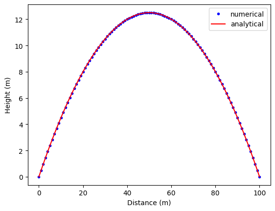
Advection
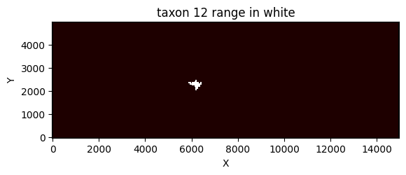
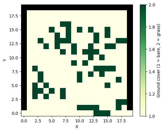
Agent Based Modeling
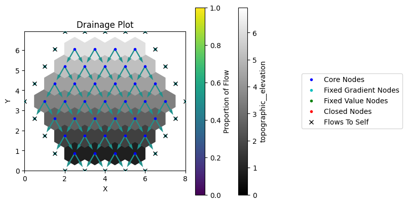
Boundary Conditions
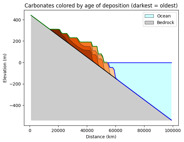
Carbonates
Component Tutorial
Data Record
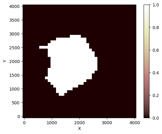
Ecohydrology
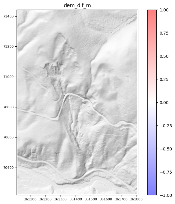
Fault Scarp
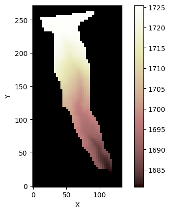
Fields
Flexure
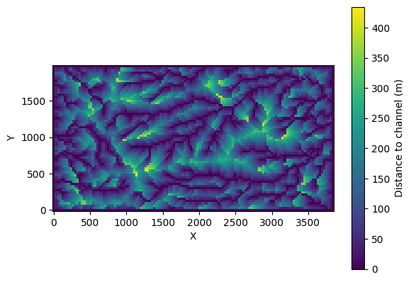
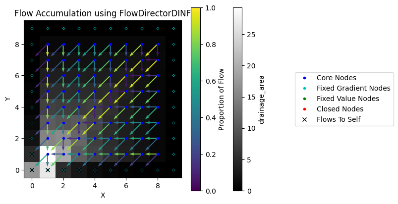
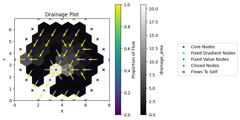
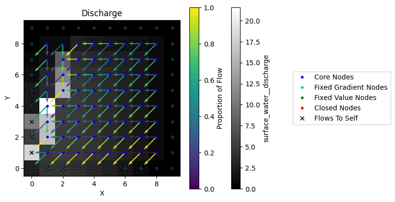
Flow Direction And Accumulation
Fracture Grid
Gradient And Divergence
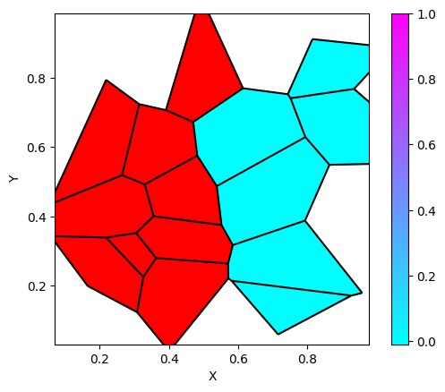
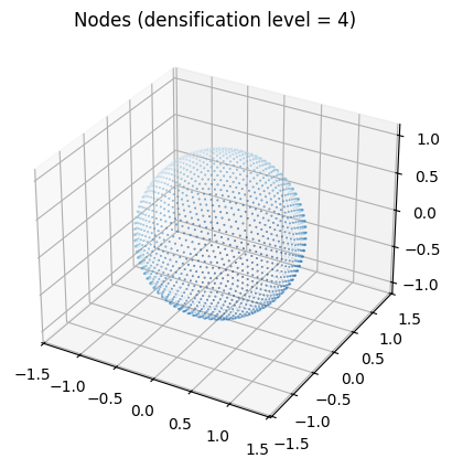
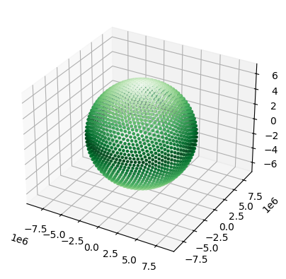
Grids
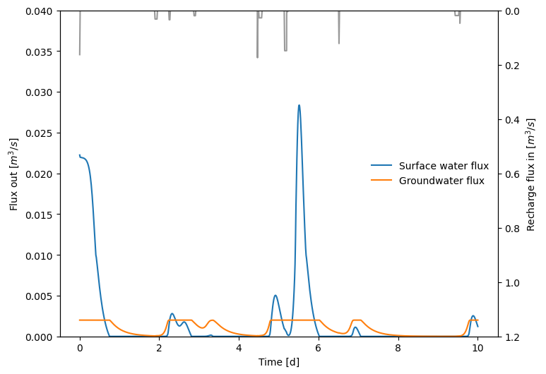
Groundwater
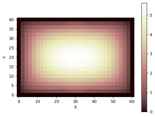
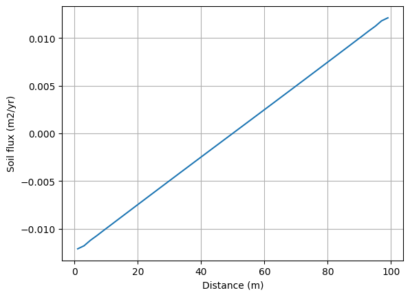
Hillslope Geomorphology
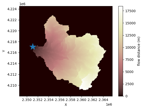
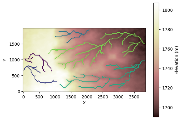
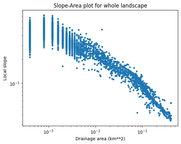
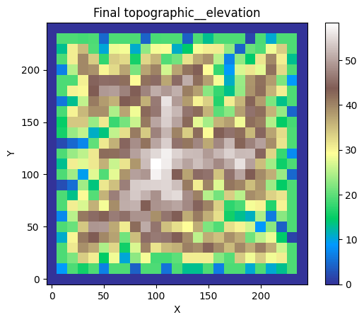
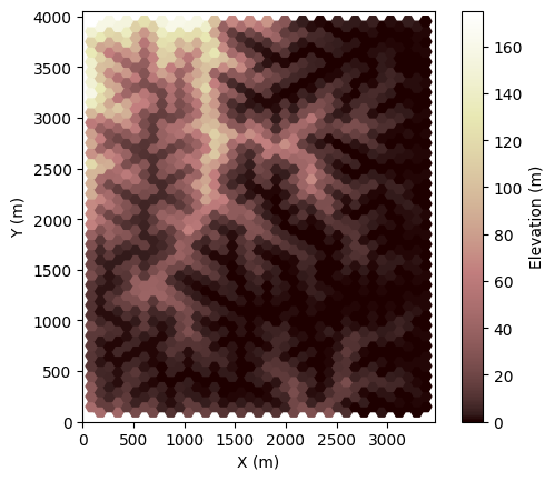
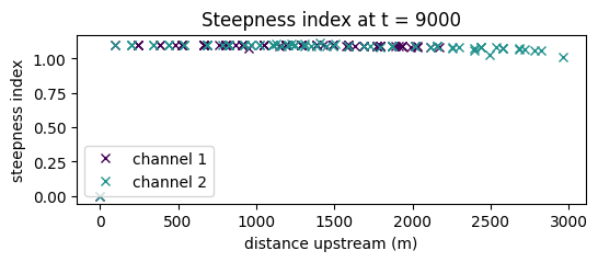
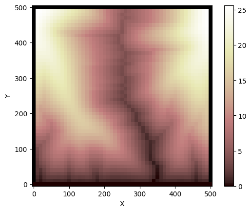
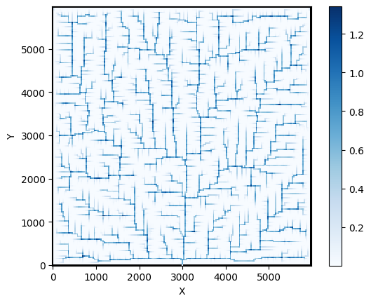
Landscape Evolution

Unit tests and parameterization for AreaSlopeTransporter
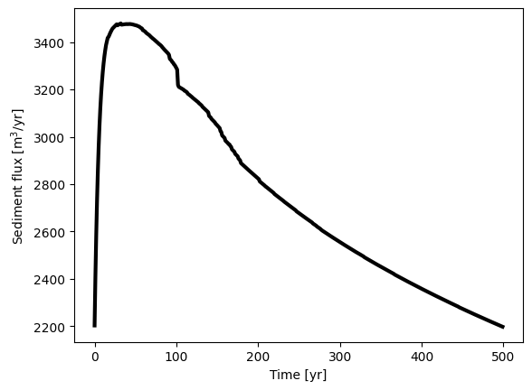
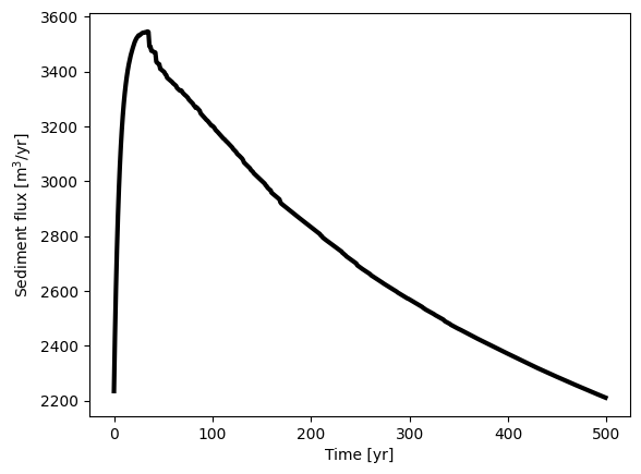
Example of a transport-limited LEM using AreaSlopeTransporter
Introduction to the ErosionDeposition component
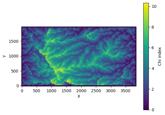
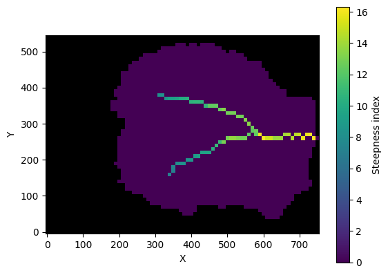
Using the Landlab Shared Stream Power Model
Unit Tests for the Landlab GravelBedrockEroder Component
The Landlab GravelRiverTransporter Component
HyLands: modelling the evolution of landscapes and mass movements
Adding a discharge point source to a LEM

The StreamPowerSmoothThresholdEroder component
User guide and example for the Landlab SPACE_large_Scale_eroder component
User guide and example for the Landlab SPACE component
User guide and example for the Landlab threshold_eroder component
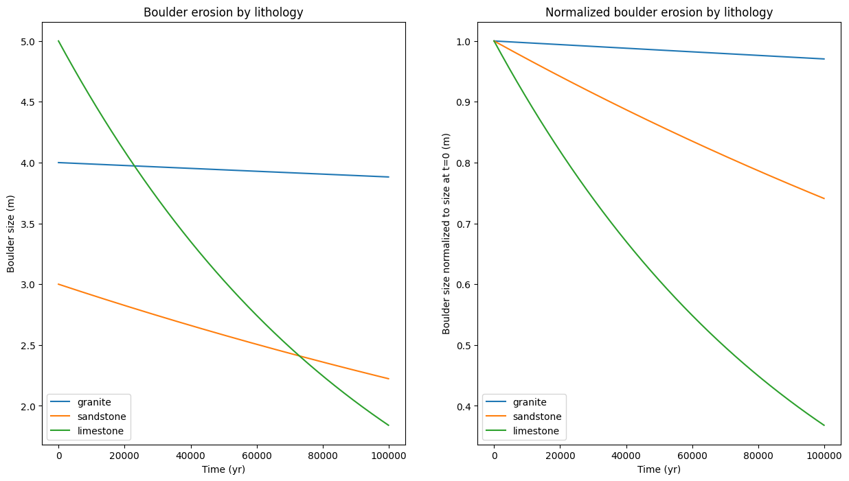
Lithology
Making Components
Mappers
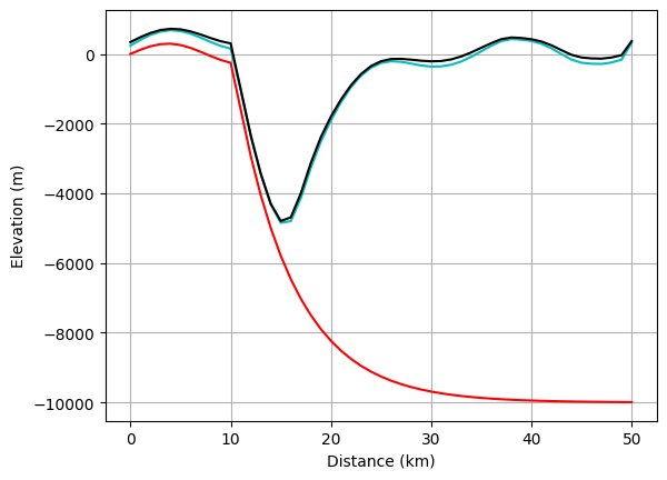
Marine Sediment Transport
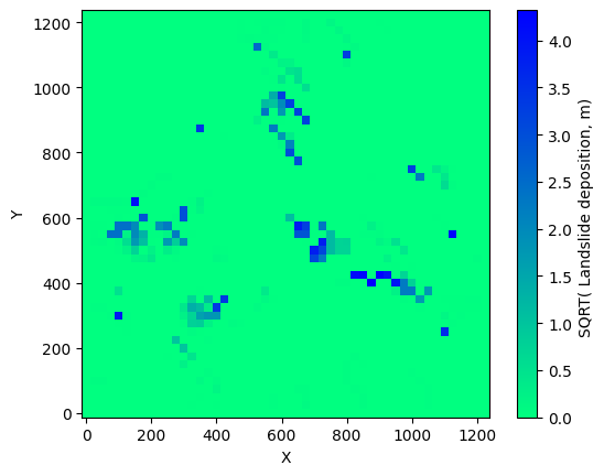
Mass Wasting Runout
Matrix Creation
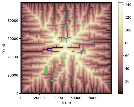
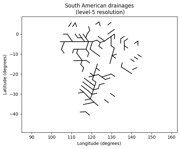
Network Sediment Transporter
Using the Landlab BedParcelInitializer components to initialize river bed sediment parcels for the NetworkSedimentTransporter component
Create A Network Grid from Raster Grid
Using plotting tools associated with the Landlab NetworkSedimentTransporter component
Using the Landlab NetworkSedimentTransporter component
Using USGS NHDPlus HR Datasets With the Landlab NetworkSedimentTransporter Component
Using the Landlab NetworkSedimentTransporter component starting with a shapefile river network
Profiling and Scaling Analysis of the NetworkSedimentTransporter
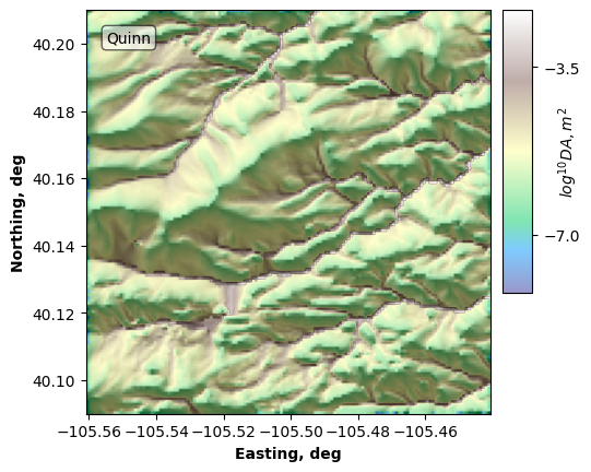
Generate a Network Model Grid on an OpenTopography DEM
Using SedimentPulserAtLinks to add sediment parcels to a channel network
Using SedimentPulserEachParcel to add sediment parcels to a channel network
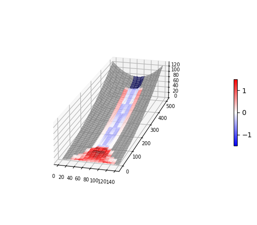
Normal Fault
Output
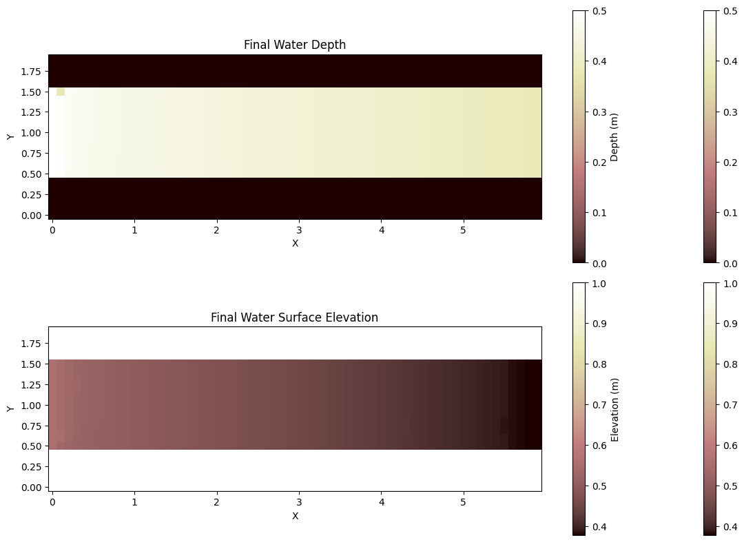
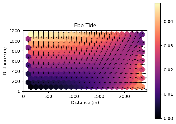
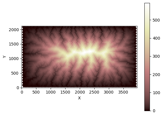
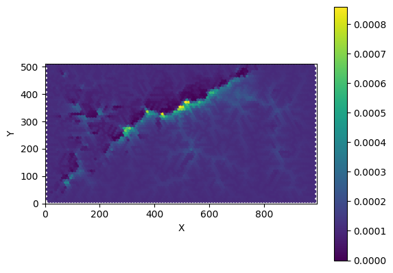
Overland Flow
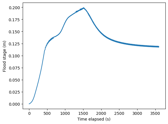
A coupled rainfall-runoff model in Landlab
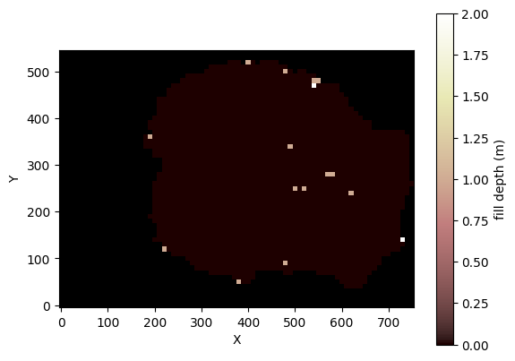
How to do “D4” pit-filling on a digital elevation model (DEM)
The deAlmeida Overland Flow Component
The Implicit Kinematic Wave Overland Flow Component

The Linear Diffusion Overland Flow Router
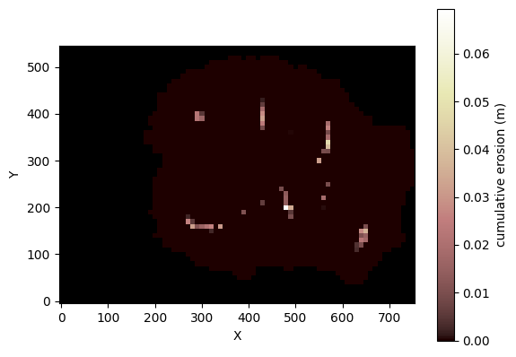
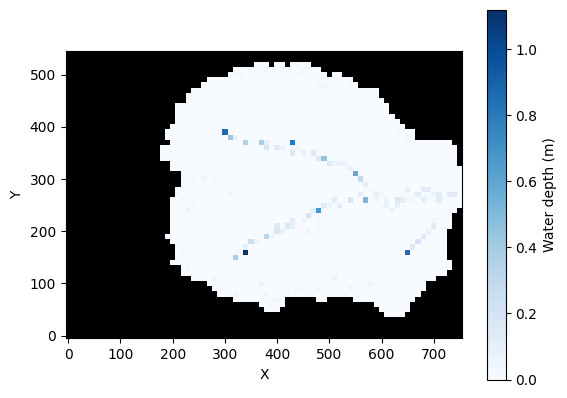
Components for modeling overland flow erosion
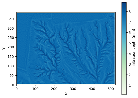
Green-Ampt infiltration and kinematic wave overland flow